
Looking Up Hamden Neighbors by Block
The block around an address is best described through relationships among parcels, roads, civic boundaries, and dated public records. Hamden’s GIS viewer can display a selected parcel with adjacent parcels and layers. Vision and the ArcGIS urban-parcels layer expose different property fields. IQS can show whether neighboring parcels share an instrument, map, easement, subdivision, or historic party. Civic associations explain neighborhood vocabulary but do not publish an official list of every household.
| Source | What It Shows About a Block | Access |
|---|---|---|
| Hamden interactive GIS | Selected parcel, adjacent parcels, layers, map position and measurements | Public viewer |
| ArcGIS urban parcels | MBL, owner field, location, street, mailing fields, map/block/lot/unit and coordinates | Public layer; verify with town |
| Vision and field cards | Assessment date, class, displayed owner, mailing field and revaluation context | Public informational route |
| IQS land and map index | Shared deeds, easements, subdivision maps and recorded parties | Guest index through Town Clerk |
| Civic association pages | Public boundaries, committees, meeting and contact context | Association statements |
These sources describe a block without creating a personal roster. An owner field is not a complete occupant field. A mailing address may differ from a parcel situs. A civic boundary may be informal. The source date and displayed role belong beside every observation about Hamden neighbors.
Hamden GIS Adjacent Parcels
The MapXpress viewer supports Search, Parcel Information, Select, Print Map, View Legend, map extent, zoom, pan, and simple, path, and area measurement. Its layers include zoning, wetlands, aquifer protection, FEMA, trails, elevation, inspection zones, aerial imagery, water, planning, and base maps. Select a parcel, then record the map scale, visible layer names, source date, and adjacent parcel IDs before the viewer changes.
The ArcGIS urban parcels layer adds fields such as MBL, OWNER_NAME, LOCATION, STREET, MAIL_ADDR, MAIL_CITY, MAIL_STATE, MAIL_ZIP, map/block/lot/unit, acreage, coordinates, zoning split, and source identifiers. These are machine-readable supplements. The town’s public GIS and the responsible office remain the primary interpretation points.
The Hamden interactive GIS viewer is the correct starting point for an adjacent-parcel map.
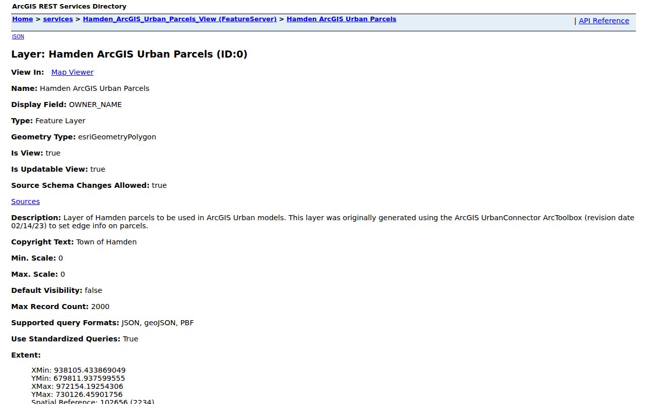
The layer image shows why a block search should preserve parcel IDs and fields instead of copying a full personal address list.
Mapping a Hamden Block
Start with one address and move outward by parcel. The process is geographic first. It can reveal a shared subdivision, a common road, a connected easement, an irregular lot line, or a map-era change. It does not require identifying every person in the surrounding parcels.
- Locate the address in the Hamden GIS viewer and save the selected parcel ID.
- Click or select adjacent parcels and record their map positions and displayed public fields.
- Compare situs and mailing fields in Vision or the assessment card without treating them as occupancy proof.
- Search IQS for a shared map, easement, subdivision, or related recorded instrument.
- For a whole named street, switch to the Hamden by-street method rather than expanding a block note into a roster.
Keep the map output reproducible. Write down the source/update date, scale, layers, parcel key, and the reason each adjacent parcel was included. A “neighbor” can mean next parcel, same subdivision, same civic boundary, or a historic street segment. State which meaning is being used.
Whitneyville and Spring Glen Civic Boundaries
Civic associations add a community layer that parcel maps cannot supply. The Whitneyville Civic Association publishes a boundary map, board and committee information, meeting cadence, and a public contact at info@whitneyville.org with a P.O. Box 6031, Hamden, CT 06517. Its public about page describes the association’s identity, membership, and voting rules, not the names of every household in its area.
Spring Glen Civic Association describes boundaries along Hartford Turnpike, Waite Street, Lake Whitney, the Mill River, and Skiff Street. It lists social, welcome, traffic, planning, and aesthetics committees and gives a P.O. Box 6240, Hamden, CT 06517. The road description is an association boundary statement, not a legal parcel survey. Compare it with GIS and keep the page date.
| Whitneyville Civic Association | Boundary map, committees, meetings, join rules, and public contact; Hamden 06517 mailing address. |
|---|---|
| Spring Glen Civic Association | Road-boundary description, social and planning committees, welcome and traffic contacts; Hamden 06517 mailing address. |
| Newhall Neighborhood Association | Activity appears in Hamden meeting material, but no current official public directory or boundary source was located. |
Use a civic page to understand block vocabulary and public meeting routes. Do not treat association membership or a public contact as a resident record.
The Spring Glen source is represented in the captured local material below.
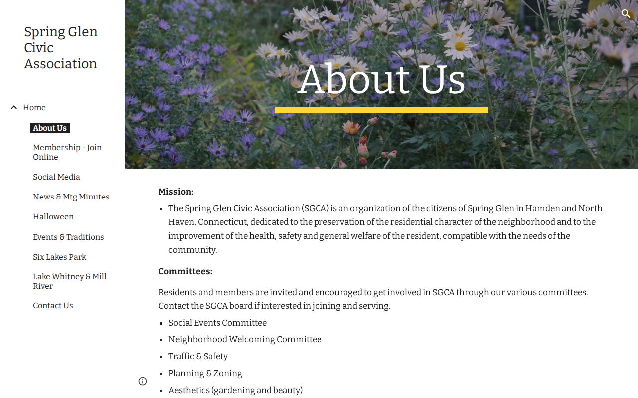
The civic boundary image belongs beside the parcel map, because neither layer alone defines every neighbor relationship.
Hamden Boards and Commissions Add Civic Context
Hamden’s Boards and Commissions page describes more than thirty boards and hundreds of resident participants. Meeting minutes can place a street, project, public concern, or neighborhood association in a dated civic record. The Police Commission page says neighborhood associations can bring traffic concerns. Those records can explain why a block appears in a planning or safety discussion without identifying a private household.
The town’s public meeting access portal and CivicClerk route add agendas, minutes, and meeting materials. Search by the street, project, board, or date. Preserve the meeting body and document date. A public participant, speaker, or association representative should not be recast as the person connected to every nearby parcel.
Open the Hamden Boards and Commissions page for the official civic roster and meeting context.
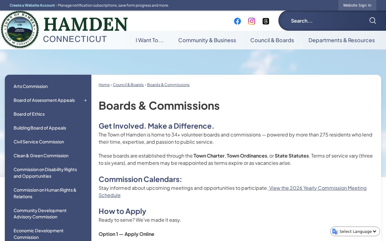
The town page is a civic source, not a private contact directory. It is most useful when paired with a date and a block-level question.
A Street’s History Can Change Hamden Neighbors
Hamden’s neighborhood geography is shaped by streets that were divided, renamed, planned, or remembered by village. The Historical Society’s Mix Avenue research shows a 1951 directory split into Circular-Roosevelt and Benham-Shepard sections after the Wilbur Cross Parkway disrupted continuity. Zoar Avenue appears in 1939-49 directories as a “trap” street clue. A block comparison across time must therefore preserve the source’s street segment.
Whitneyville, Mount Carmel, Spring Glen, Centerville, West Woods, Highwood, Sleeping Giant, Lake Whitney, and the Dixwell-Whitney corridors recur in different civic and historical sources. The Historical Society street-name pages help test those labels against older roads and documentary leads. They are not all formal parcel boundaries, so keep the landmark or village field beside the current GIS form.
Hamden Neighbor Records and Their Gaps
Assessment and GIS systems can display owner and mailing fields, but they do not prove occupancy or household composition. IQS can show recorded parties, but a party to a deed is not automatically a person living at the parcel. The voter lookup can show permitted registration fields, but protected voters may have a substitute or withheld address. Directories are historical and selective. Civic pages describe communities, not everyone who lives within a boundary.
When an address is missing, do not bridge the gap with a less reliable source. The Address Confidentiality Program, voter privacy program, DMV restrictions, court redactions, and vital-record rules all mean that a blank field can be intentional. Report the official limit and use a parcel, map, meeting, or historical source that answers the question without exposing a protected field.
The Connecticut voter privacy program explains why a public result may not show the field a map searcher expects.
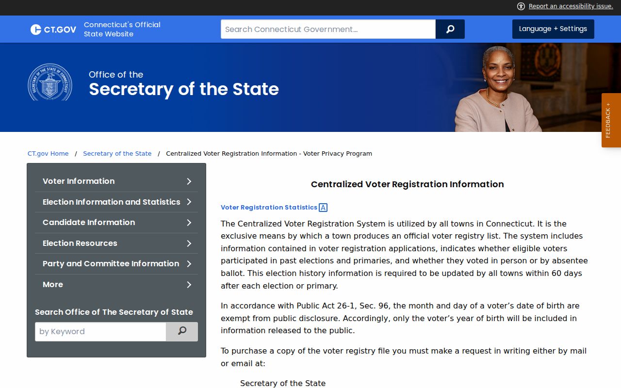
Use privacy guidance as part of the block method, not as an afterthought when a name or address is absent.
Official Block Evidence Versus Compiled Tools
Official sources are narrow, dated, and tied to a responsible custodian. Compiled people-finder tools may combine public land, court, directory, business, and address data with purchased or inferred fields. Copies can remain stale after an official record changes, and an opt-out from one copy does not correct the source record. A Hamden neighbor search should use the official source for verification and the parcel map for geography.
| Approach | Strength | Limit |
|---|---|---|
| Hamden GIS and ArcGIS | Parcel position, adjacent relationships, layers and source fields | Informational; verify owner and boundary details |
| Town Clerk IQS | Recorded parties, maps, easements and instruments | Not a complete occupant list or title opinion |
| Civic association page | Public boundary, meeting and committee context | Not an official household roster |
| Compiled search category | May group many records in one interface | Stale, inferred, costly, and not a custodian record |
Use the smallest source set that answers the block question. A parcel comparison, shared map, public meeting, or civic boundary is often more accurate and less revealing than a compiled profile.
Privacy Limits on a Hamden Neighbor Lookup
A Hamden neighbor lookup should stop at the public parcel and civic facts needed for the question. Do not publish full protected addresses, birth dates, Social Security fields, sealed or erased court material, substitute addresses, or a household list assembled from separate records. A displayed mailing field can differ from a situs address, and an adjacent parcel does not prove that two people know each other or share an organization.
Lawful use. Neighbor research is for understanding a block, reconnecting through an appropriate public source, civic participation, and personal safety awareness. Do not use it to watch, stalk, harass, intimidate, or harm anyone.
Record the map date, parcel IDs, displayed fields, civic source, and unresolved issue. If the goal changes to the full named-street chain, use the responsible street-record route rather than expanding a block note into a personal directory.