
Tracing a Hamden Street Directory by Address
A useful street directory search starts with the physical place. Hamden’s public systems divide the work among GIS, assessment, land records, registration, and municipal permits. The address is the shared thread, but each system stores a different fact. GIS gives a parcel key and map context. Vision supplies assessment information. IQS gives recorded parties and instruments. The state voter lookup may show permitted registration fields. An older directory or newspaper can add a dated household clue.
Use the steps below in order. Save the exact street spelling and the source date before moving on. If a result conflicts with another one, preserve both fields and ask the responsible office which record controls.
- Run the house number, street, or parcel ID through the Hamden GIS property search.
- Open the selected parcel in the interactive MapXpress viewer and save the map context.
- Compare location, displayed owner, mailing field, and assessment date in Vision.
- Search Hamden IQS by parties, dates, book/page, instrument, or case number.
- Use voter or historical directory sources only as a separate, dated layer.
Hamden GIS Fields for a Street Search
The Hamden GIS and Real Property Information portal is the main address-keyed starting point. Its static page documents Property Search Name, House No., Street, and Parcel Id. The page says parcel maps were updated in April 2026, property information is updated nightly, and the town has about 16,750 parcels. A street search should capture those update notes because a later screen may not look the same.
The live street list is a select control, and the research capture did not expose every option. Do not invent a street value or assume that a failed exact spelling means the road is absent. Try the documented modern form, then check a former name or village label in Historical Society material.
For the next property layer, use Hamden’s property-record field-card route for assessment detail and the Hamden Tax Office for tax-account questions. Those records have different purposes from the street and parcel map.
| Property Search Name | Text name field for a displayed property search name. |
|---|---|
| House No. | Text number field used with a street selection. |
| Street | Select control; the dynamic choices were not available in the static capture. |
| Parcel Id. | Formatted town parcel key, with an example such as 2629-008-00-0000. |
| Search result | Save the parcel ID, situs, source date, and any adjacent-parcel view. |
The Hamden GIS parcel viewer capture shows how a selected parcel supplies map, layer, and neighboring context.
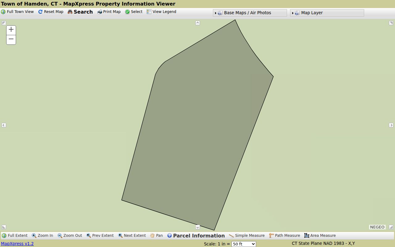
The viewer supports search, parcel information, printing, a legend, zoom, pan, and simple, path, and area measurement. It includes layers for zoning, wetlands, FEMA, trails, elevation, inspection areas, aerial imagery, and planning context. These layers help explain a street; they do not replace a deed, survey, or custodian confirmation.
Hamden’s Deed and Assessment Address Trail
A parcel result becomes useful when it is connected to the recorded land trail. The Town Clerk holds permanent land records, including deeds, mortgages, liens, easements, subdivision plans, maps, condominium documents, and some probate-related instruments. IQS help lists Party 1 and Party 2, name, party type, dates, document group and description, town, book/page, instrument number, and case number. Last-name-first entry, partial names, and a wildcard are described in the general help.
The Hamden IQS coverage page supplies the land, map, and trade-name date ranges, while the IQS search-screen help explains the general controls. Confirm the result and image availability in the live Hamden portal.
Vision is a different system. Hamden assessment materials describe assessed value as 70 percent of fair-market value and identify the October 1, 2024 revaluation phase-in. A displayed owner, mailing address, parcel location, assessment date, map/block/lot/unit, or acreage is an assessment or GIS field. It is not an automatic statement about occupancy, title, or a complete history.
Open the Hamden Town Clerk land-record route before treating a street result as a deed conclusion.
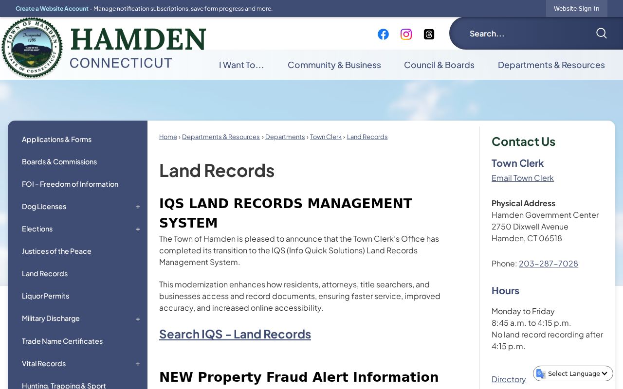
Keep the parcel’s situs location and mailing field in separate notes. If the index and assessment record disagree, report the conflict and ask the Town Clerk, Assessor, surveyor, or title professional which document resolves it.
The Hamden Vision assessment database is a separate property source with 2024 revaluation and phase-in context.
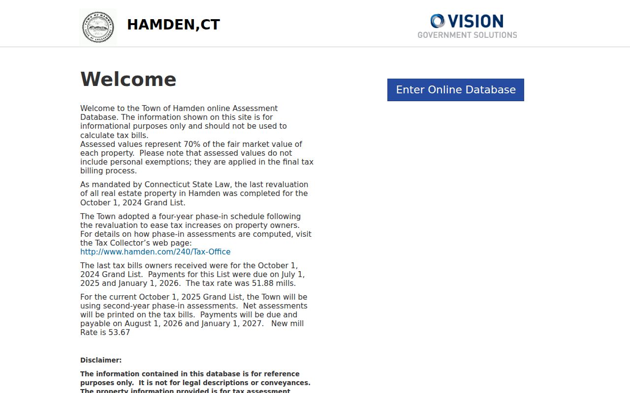
Use the assessment image as context for the parcel record, then return to the Town Clerk when the question concerns a recorded instrument.
Property Fraud Alert is a separate notice service rather than a title guarantee. Hamden’s land-record page gives October 8, 2025 as the cutoff for documents signed before the IQS transition, while the Town Clerk service page gives October 13, 2025. The five-day difference is a live verification item. Check the current IQS instructions and ask the Town Clerk which date controls the document in question. An alert can call attention to a recorded instrument, but it does not decide whether the instrument is valid.
Recent filings can also carry more than one date. An instrument may have a signed or submitted date and a separate recording date, and an electronic vendor route does not change the Town Clerk’s role as custodian. Preserve both dates when the result shows them. If an older image is missing or hard to read, ask about the physical book, map cabinet, microfilm, or certified-copy route instead of treating the online gap as a missing transfer.
Hamden Records Along One Street
The street directory’s strength is its ability to line up several address-keyed sources without pretending they are one roll. The parcel ID can connect GIS to a deed search. A permit number can add a dated municipal event. The voter lookup can answer a narrow registration question. A historical directory can show a past address or village label. Each row below has a separate keeper and access rule.
| Record Set | Keeper | What It Shows | Access |
|---|---|---|---|
| GIS and assessment | Hamden property systems | Parcel, situs, displayed owner, mailing field and map context | Public informational portals |
| Deeds and maps | Hamden Town Clerk through IQS | Recorded parties, dates, instruments, book/page and images when available | Guest index; copy route varies |
| Voter lookup | Connecticut Secretary of the State | Registration status, party, polling information and permitted fields | State privacy rules apply |
| Permits and inspections | Hamden Permits and Licensing Center | Applications, permits, inspections and certificates when public and retained | Town routes and Viewpoint |
| Historical directories | Library, History Room and repositories | Dated address, village, occupation and household clues | Collection-specific access |
Follow the street name through the table, but do not merge a mailing field with a resident claim. The full historical shelf belongs on the Hamden city directories page, where year runs and reading conventions receive the detailed treatment.
Mix Avenue After the Parkway Split
Hamden’s Mix Avenue provides a local test for any street directory method. The Historical Society says the 1951 directory placed Mix Avenue in two sections, Circular to Roosevelt and Benham to Shepard, after the Wilbur Cross Parkway interrupted the road’s continuity. Whitney Lane appears through 1939 in the same research trail. A modern search that expects one uninterrupted street can therefore miss the period vocabulary.
When an older entry does not match the current map, compare the directory with the 1927 map, the 1934 aerial reference, current GIS, subdivision maps in land records, and the town tax map. Keep the period segment exactly as printed, then add the current normalized form in a separate field. This is a street-history problem, not a clean negative result.
The Historical Society’s Mix Avenue research supplies the source-specific example. It also points to library directories and map material that can test a household clue.
Permits Add Dates to Hamden Addresses
Permits can explain when a place changed without proving who occupied it. Hamden’s Permits and Licensing Center routes building, electrical, plumbing, heating, mechanical, demolition, chimney-liner, fire, engineering, road-opening, sidewalk, and driveway matters. The town links applications to Viewpoint, but the public result controls were not statically exposed in the research capture.
Use an application or inspection date as a chronology clue. Tie it to a parcel ID, street segment, map, meeting packet, or deed instrument. Do not infer an unlisted person from a permit, and do not treat a permit applicant as the owner unless the record states that role. A narrow request naming the department, address, record type, and date range is more useful than a broad request for every file.
The Hamden permits page is the source for the available municipal routes.
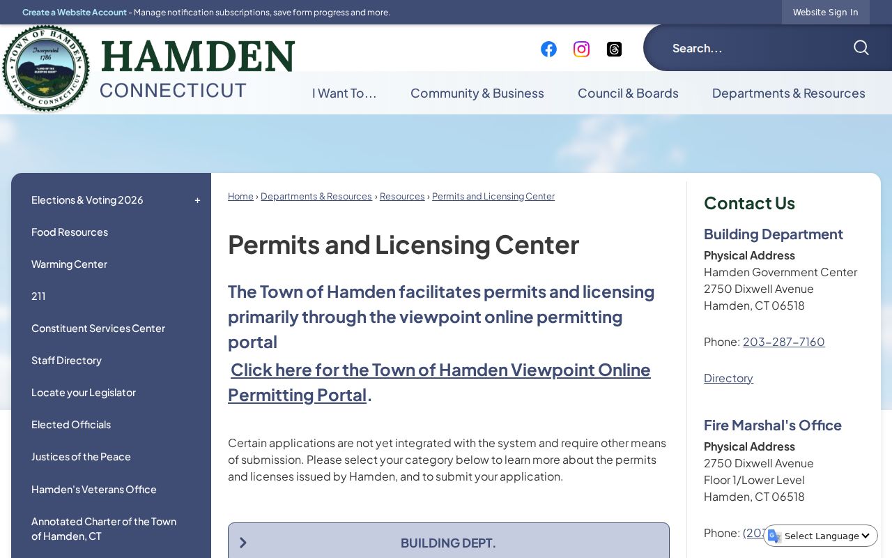
The portal image supports the address chronology, while the town department remains the custodian for questions about a particular file.
Old Hamden Street Names Need a Second Search
The Historical Society’s street pages document former names, planned roads, paper streets, and roads that changed over time. Its obsolete-street material calls Zoar Avenue a “trap” street because it appears in 1939-49 directories. A printed entry can be genuine evidence of a source’s language without proving that the road was a current buildable street. Search the old spelling, shortened form, village label, nearby cross street, map case, and deed map.
Other local clues include Hudson and Stevens, Blacy on a dated plat and directory trail, and earlier Highland Avenue, Blake Street, and Blake Avenue forms. These are research leads, not modern parcel conclusions. If an exact modern search fails, record the tested spelling and consult the Historical Society’s street bibliography before declaring that a name is absent.
For a dated historical directory entry, use the Hamden street-name research and its linked obsolete-street material.
Hamden’s street vocabulary also crosses village and town-line terms. A regional directory can group Hamden with New Haven, North Haven, Woodbridge, or other nearby places, while a current postal city can use a label that does not match the parcel municipality. Keep the source’s original place field, test the street in the town GIS, and note whether the result is a local road, a village reference, a planned road, or a regional directory heading.
A Hamden Street Directory Has Clear Limits
A street directory can show a parcel, a displayed property field, a recorded party, or a dated historical entry. It cannot produce a complete list of household members. The voter system is limited to its public fields and purpose rules. DMV personal information is restricted under the federal Driver’s Privacy Protection Act and CGS §14-10. Utility, delivery, and other private customer lists are not public town directories. An old directory address is not a current address statement.
Lawful use. Hamden address records are for personal research, family history, civic questions, and ordinary place-based curiosity. Do not use a street search to stalk, harass, intimidate, or harm another person.
A protected or missing field is a stop condition. State address-confidentiality and voter-privacy programs can replace or withhold an address. If the goal shifts from a whole street to one person, use the Hamden resident lookup method and require two independent anchors.
Normalize a Hamden Address Before Searching
Keep three versions of every address: the original wording, a normalized historical form, and the current USPS or GIS form. Preserve directionals, abbreviations, village labels, route names, and house-number ranges. A Price and Lee entry such as “h Hamden” or “h Whitneyville” may carry more meaning than a forced modern street string. A ZIP code is a postal key, not a replacement for the historic place name.
- Parcel
- A mapped land unit identified by the town’s parcel or MBL key.
- Situs address
- The physical location of the parcel, which may differ from a mailing address.
- Plat
- A recorded or filed map showing lots, roads, or subdivision relationships.
- Criss-cross directory
- A reverse arrangement that lets a researcher approach a household through a street or address.
Write the confidence level and unresolved issue beside the normalized form. That small habit makes a Hamden street directory search reproducible when a road was renamed, divided, or printed with a village label instead of a modern mailing city.