
Sources for Earlier Hamden Residents
A previous-residents search needs an era map before it needs a name. Hamden land records reach to the late eighteenth century, maps begin later, and the one verified digitized directory sample is from 1869-70. Death indexes, probate districts, newspapers, and local collections cover different periods again. Building a table first prevents a modern portal from being treated as a complete history of an old address.
| Source | Years It Covers | Where Held | What It Shows |
|---|---|---|---|
| Hamden IQS land index and images | 1778-present | Town Clerk through IQS | Recorded parties, instruments, dates, maps and images when available |
| Hamden map records | 1865-present online coverage | Town Clerk and map materials | Lots, roads, subdivisions and parcel relationships |
| Price and Lee directory | 1869-70 verified scan | Internet Archive | Names, homes, occupations, businesses and village labels |
| Death index and certificates | Index to 1786; certificates from 1906 | Hamden Town Clerk | Death, burial and certificate leads under access rules |
| Probate districts | New Haven through 1945; Hamden through 2011; Hamden-Bethany after | Probate court and repositories | Estate parties, transfers and family relationships |
| Permits and inspections | Current portal coverage; start date not located | Hamden departments and Viewpoint | Dated work or application clues when public and retained |
Start with the source closest to the era in question. Use a deed or map for parcel continuity, a directory or census for household context, and an obituary, cemetery, or probate file for a life event. If the year run is not verified, record that gap instead of filling it with a guess.
Hamden Land Records Reach Back Before the Town
The Hamden Town Clerk is the local keeper of permanent land records. IQS states land index data and images from January 26, 1778 to the present, before Hamden’s formal 1786 separation from New Haven. Map coverage begins September 1, 1865, and trade-name index coverage begins January 4, 2006. A dated previous residents trail may use New Haven, parish, village, road, or owner-name language rather than a modern Hamden address.
A deed can show a grantor, grantee, instrument number, book/page, recording date, map, easement, mortgage, or document description. It does not by itself prove that a person lived at the property. The Town Clerk warns that ordinary land indexes do not include every town tax or sewer-use lien and that the office does not perform a professional title search. Use the index to find the instrument, then inspect the document or request the custodian’s certified route.
Working Back Through the Hamden IQS Deed Chain
The deed chain moves from a current parcel to an earlier recorded party. The current GIS or assessment field gives a starting name and parcel key. IQS then supplies the party and date fields for the instrument search. Search the current owner as a grantee to find the purchase deed, identify the seller as a grantee in the earlier transfer, and keep moving backward. A map, release, mortgage, probate conveyance, or subdivision instrument may explain a break.
- Save the current parcel ID, situs location, displayed owner field, assessment date, and map source.
- Search IQS for the current party, using the narrow date range and exact spelling first.
- Record the instrument number, book/page, recording date, party roles, document description, and image indicator.
- Search the earlier seller as grantee and test historic street or village spellings.
- Move to Town Clerk books, maps, microfilm, or a certified-copy route when the online chain stops.
- Grantor and grantee
- The grantor transfers or conveys an interest; the grantee receives it in the recorded instrument.
- Chain of title
- A linked sequence of recorded instruments showing how an interest passed between parties.
- Legal description
- The deed’s parcel description, which can identify land when a street address has changed.
Search notes should distinguish a visible index entry from an inspected image and both from a title conclusion. This is the core of a defensible previous-residents trail.
Past Households in Hamden Directories and Census
Owners are only one layer of previous residents. A city directory can list a household at an address, while a census schedule can add family structure for its collection year. The Price and Lee scan uses home, boarding, occupation, business, and village conventions. Later local directory holdings and a reverse-directory subscription lead may provide address-order clues, but the exact Hamden run still needs confirmation from a repository.
Pair a directory year with a nearby census year, then test the household with an obituary, cemetery record, church source, newspaper, or probate party. The historical collection itself is treated in the Hamden city directories page. Keep each source’s wording and date. A previous residents trail may end with a move, death, missed volume, changed street name, or a publication rule.
For a current address chain, the Hamden by-street method handles the parcel and street layers. This page uses those current keys only to move backward through time.
Mix Avenue and Address Changes in Hamden
The Historical Society’s Mix Avenue research shows why previous residents can be missed by a literal address search. In the 1951 directory, Mix Avenue is split into Circular-Roosevelt and Benham-Shepard sections after the Wilbur Cross Parkway disrupted continuity. Whitney Lane appears through 1939 in the same local trail. A family paper or directory entry may therefore identify the road by a segment that no longer reads like one current street.
Compare a period directory with the 1927 map, 1934 aerial reference, current GIS, subdivision maps, and the Town Clerk map series. Search the old street, village, cross street, and adjacent owner. A failed modern spelling is a prompt for address normalization, not proof that the household or parcel was absent.
Open the Historical Society Parkway research when a past-resident trail touches Mix Avenue or another disrupted route.
Permits and Maps Date a Hamden House
Permits can show when a change was applied for, inspected, or routed through a town department. Hamden’s Permits and Licensing Center describes building, electrical, plumbing, heating, mechanical, demolition, fire, engineering, road-opening, sidewalk, and driveway routes, with Viewpoint as the online application portal. The live public-result controls were not exposed in the research capture, so use only fields the current portal or department displays.
Maps supply a second kind of date. A subdivision plan, road map, aerial, or Historical Society map can explain why a lot number, road segment, or neighboring parcel differs from the present GIS. Link the permit or map to the parcel and record the document date. Do not turn an applicant or map label into a claim about a past resident.
The Hamden Viewpoint portal is the application route identified by the town.
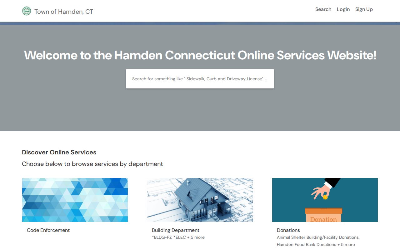
The portal image is useful for locating the municipal chronology layer; the responsible department remains the source for a particular record.
Reverse Directories in Hamden Need a Reference-Desk Check
A 2020-21 Town Clerk budget backup documents a Hamden/New Haven reverse-directory subscription used by town staff, public safety, the public, the Tax Office, and Assessors. The research does not identify the exact current title, publisher, years, or access terms. Present it as a lead for previous residents, not as a confirmed online database.
Ask Hamden Library, the History Room, or the Town Clerk whether the run remains available and whether it is open shelf, on a subscription terminal, scanned, or staff-mediated. A reverse directory can show a dated address association, but it has the same limits as a forward directory: coverage gaps, spelling choices, and an inclusion rule that may not list every household.
Keep the budget backup with the question you send to the reference desk so the staff can identify the correct subscription or replacement.
Obituaries, Cemeteries, and Probate Close the Trail
A previous-residents search often ends with a life event rather than another deed. The History Room collection index identifies obituary clippings, cemetery and burial indexes, family papers, and Hamden Chronicle volumes from 1946-1954. State Street Cemetery identifies 2125 State Street, a move in 1855, and an oldest burial of 1784. The FamilySearch Central Burying Grounds index adds a searchable clue, but every index should be checked against a stone, register, obituary, or probate record.
Probate jurisdiction changed over time. New Haven District covered Hamden estates from May 1786 through January 7, 1945. Hamden covered January 8, 1945 through January 4, 2011. Hamden-Bethany covers January 5, 2011 forward. Use the historical district as well as the modern case lookup when an estate, guardianship, transfer, or family relationship crosses those dates.
The Historical Society’s map-case index can point a house-history search toward older maps and local records. A map lead still needs to be read with its date, scale, and parcel or street context.
The Connecticut State Archives is another repository route for older material, but the page warns that availability can change and some groups may require a visit or staff check.
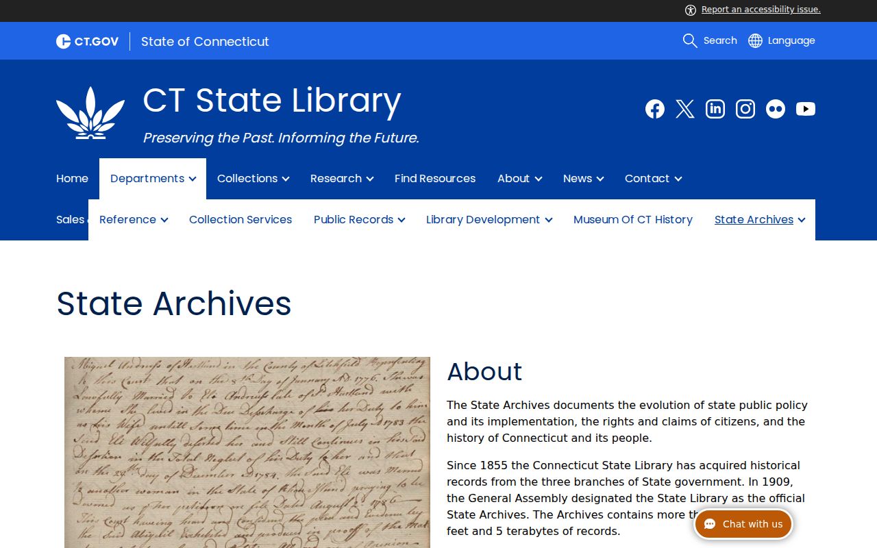
The archive route is the fallback when a local index or directory does not cover the era being tested.
How to Label a Hamden History Finding
Use precise verbs. A deed “records” a party to an instrument. A directory “lists” a name at a place in a year. GIS “displays” a parcel field. A newspaper “reports” an event. A search result was “not located in the inspected index.” None of those words should be silently changed to “lived,” “owned,” or “was absent” unless the source actually supports that statement.
For every note about previous residents, keep the source URL, repository, record date, access date, exact address form, parcel or instrument key, and confidence level. Describe conflicts rather than smoothing them out. A clean house history may end with an unresolved year or an unconfirmed street variant. That is a useful result because it shows where the next custodian request belongs.
If a historical name also needs a current custody check, use the Connecticut DOC search for its state scope. Federal custody has a different scope in the Bureau of Prisons locator. A separate public-safety or records question belongs with the DESPP registry or the State Police Bureau of Identification, not an inferred house-history conclusion.
The Treasurer’s unclaimed-property search is another narrow name lead, but it does not establish a Hamden residence or a family relationship.
Lawful use. Hamden previous-residents research is for house history, family history, and personal place-based curiosity. Do not use an old address or name trail to stalk, harass, intimidate, or harm a living person.